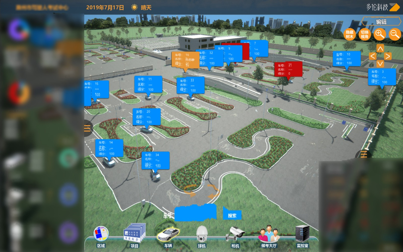
In order to achieve refined management of smart urban traffic control and maximize the application effects of big data and artificial intelligence, we have developed 2D and 3D HD e-maps (at the lane level) and a visualized control platform. The system collects and precisely reconstructs lane lines and traffic facilities, displays traffic incidents accurately and uploads data collected by smart terminals in real time, which enables accurate data interaction between terminals based on the same time-space datum and helps managers achieve visualized precise decision-making, execution, command and assessment.
The HD map platform supports visual display of dynamic spatial data on different platforms with different browsers. It allows automatic scene review at different flight sites from different directions and angles at different speeds. It also supports switch between 2D and 3D modes. The platform adopts 3D Tiles specification for streaming massive heterogeneous 3D geospatial datasets to build huge interactive viewer models, including buildings datasets, CAD (or BIM) models, point clouds and photogrammetric models. In addition, simulated traffic data can be rendered into the scene for automatic construction of micro simulation model at any given time and space in the map.

Duolun Centimeter-Level High-Precision GIS Map and Its Application in Driving Test II

Duolun Urban Road Traffic Network GIS Map and Its Application


 苏公网安备 32011502011140号